Archive for the ‘Geological Mapping’ Category

The Discovery Outcrop

The Discovery Outcrop

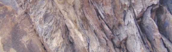
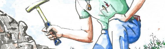
To stumble upon in the field and recognise it for what it is – outcropping mineralisation with the grade and size potential to become an orebody. A long-anticipated moment of fierce joy and satisfaction for the lone prospector or exploration geologist. I does not happen very often […]

Read more

Geologists Wobble and the fractal nature of rocks

Geologists Wobble and the fractal nature of rocks

  Here’s the thing You know what Australia looks like. You would recognise it on a map: its general shape, the peninsulas, the great gulfs. You could draw it from memory, probably, and if you did, it might look something like this: Figure 1 That’s a pretty […]

Read more

The Camera and the Interrogator

The Camera and the Interrogator

The camera and the interrogator Speak to exploration geologists and you will find two opposing views about what a geologist should do when observing outcrop or drill core in the field.  Some seek merely to be unbiased objective recorders of what they see.  Others observe the rock […]

Read more

The Copper Wars of Butte and the Invention of Underground Geological Mapping

The Copper Wars of Butte and the Invention of Underground Geological Mapping

The Copper Wars, called by some the Battle of Butte, took place from 1898 to 1906 between the Anaconda Copper Company and companies owned by Fredrick Augustus Heinze. One of the minor but significant players these wars was young Anaconda geologist Reno Sales (1876-1969).  In his eighties, […]

Read more

The definition of a geological fault and why most dictionaries get it wrong.

The definition of a geological fault and why most dictionaries get it wrong.

The definition of a geological fault, and why most dictionaries get it wrong One of the most important structures for any mineral explorer to understand are faults. What, exactly, is a fault? To geologists the answer seems so obvious that few of them (even the writers of many […]

Read more

The movement of faults

The movement of faults

The movement of faults Faults are not mathematical planes (2D surfaces with length and depth but no thickness) but 3D tabular zones of deformed rock. The length and depth of a fault is always much greater than its thickness, but fault width can vary through many orders […]

Read more

Sense of movement structures in fault zones Part 3: Identification Criteria

Sense of movement structures in fault zones  Part 3: Identification Criteria

Sense of Movement Structures in Fault Zones.  Part 3: Identification criteria Within or adjacent to a fault zone, various minor structures can be present that enable the sense of movement across the fault to be determined.  These structures are often called kinematic indicators. In Part 1 of […]

Read more

Sense Of Movement Structures in Fault Zones: Part 2: Examples

Sense Of Movement Structures in Fault Zones: Part 2: Examples

Sense of Movement  Structures in Fault Zones :  Part 2 – Examples Within or adjacent to fault zones, various minor associated structures can be present that enable the sense of movement across the fault to be determined. These structures are often called kinematic indicators. This is the […]

Read more

Sense of movement structures – Part 1, Theory

Sense of movement structures – Part 1, Theory

Sense of movement structures in fault zones - Part 1, Theory Within or adjacent to fault zones, various minor associated structures can be present that enable the sense of movement across the fault to be determined. These structures are called movement or kinematic indicators. Faults are the host […]

Read more

Drill Hole Targeting

Drill Hole Targeting

  TARGETING DRILL HOLES It is a truism that ore bodies are rare and hard to locate. If this were not so, they would hardly be worth finding.  Explorers search for them by drilling holes into the ground.  A single drill hole produces a very small sample […]

Read more