Archive for the ‘Geological Mapping’ Category

A question of attitude – Handling your strikes and dips

A question of attitude – Handling your strikes and dips

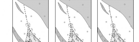
Strike and dip is a convention for  measuring the attitude of a planar structure, such as a bedding plane, fault, joint or vein, in terms of the angles which it makes with the geographic coordinates of the earth’s surface – north-south, east-west and up-down. You probably know […]

Read more

What’s the use of a geological map?

What’s the use of a geological map?

Why make a geological map? Mapping epithermal gold veins along the coast of Sumbawa, Indonesia. It’s a hard life, but someone has to do it. A geological map is a graphical presentation of geological observations and interpretations on a horizontal plane[1]. A geological section is identical in […]

Read more

Intelligent geological mapping

Intelligent geological mapping

Producing a geological map is a process of problem solving. One of the best ways to approach problem solving is known as the system of multiple working hypotheses. Something of a buzz phrase in all sciences nowadays, not many know that the idea was first formulated in […]

Read more