Why make a geological map?
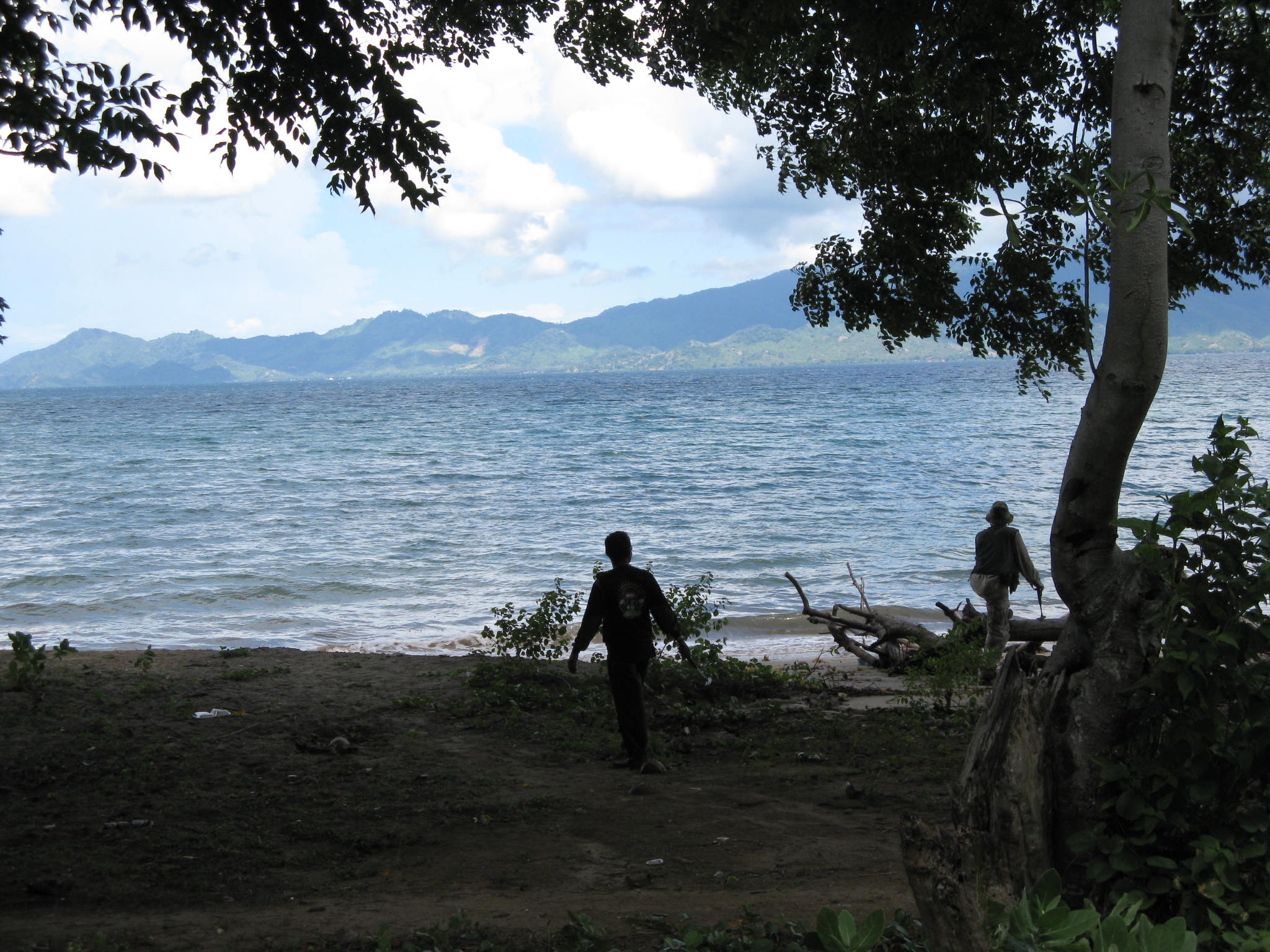
Mapping epithermal gold veins along the coast of Sumbawa, Indonesia. It’s a hard life, but someone has to do it.
A geological map is a graphical presentation of geological observations and interpretations on a horizontal plane[1]. A geological section is identical in nature to a map except that data are recorded and interpreted on a vertical rather than a horizontal surface. Maps and sections are essential tools in visualizing spatial, three‑dimensional, geological relationships. They allow theories on ore deposit controls to be applied and lead (hopefully) to predictions being made on the location, size, shape and grade of potential ore bodies. They are the essential tool to aid in developing 3-dimentional concepts about geology and mineralisation at all scales. As John Proffett – widely regarded as one of the most skilled geological mappers in the exploration industry of recent decades – has written (Proffett, 2004):
Because geological mapping is a method of recording and organising observations, much of its power in targeting lies in providing conceptual insight of value. Conceptual tools can then help in the interpretation of isolated outcrops and drill hole intercepts that might be available in and adjacent to covered areas.
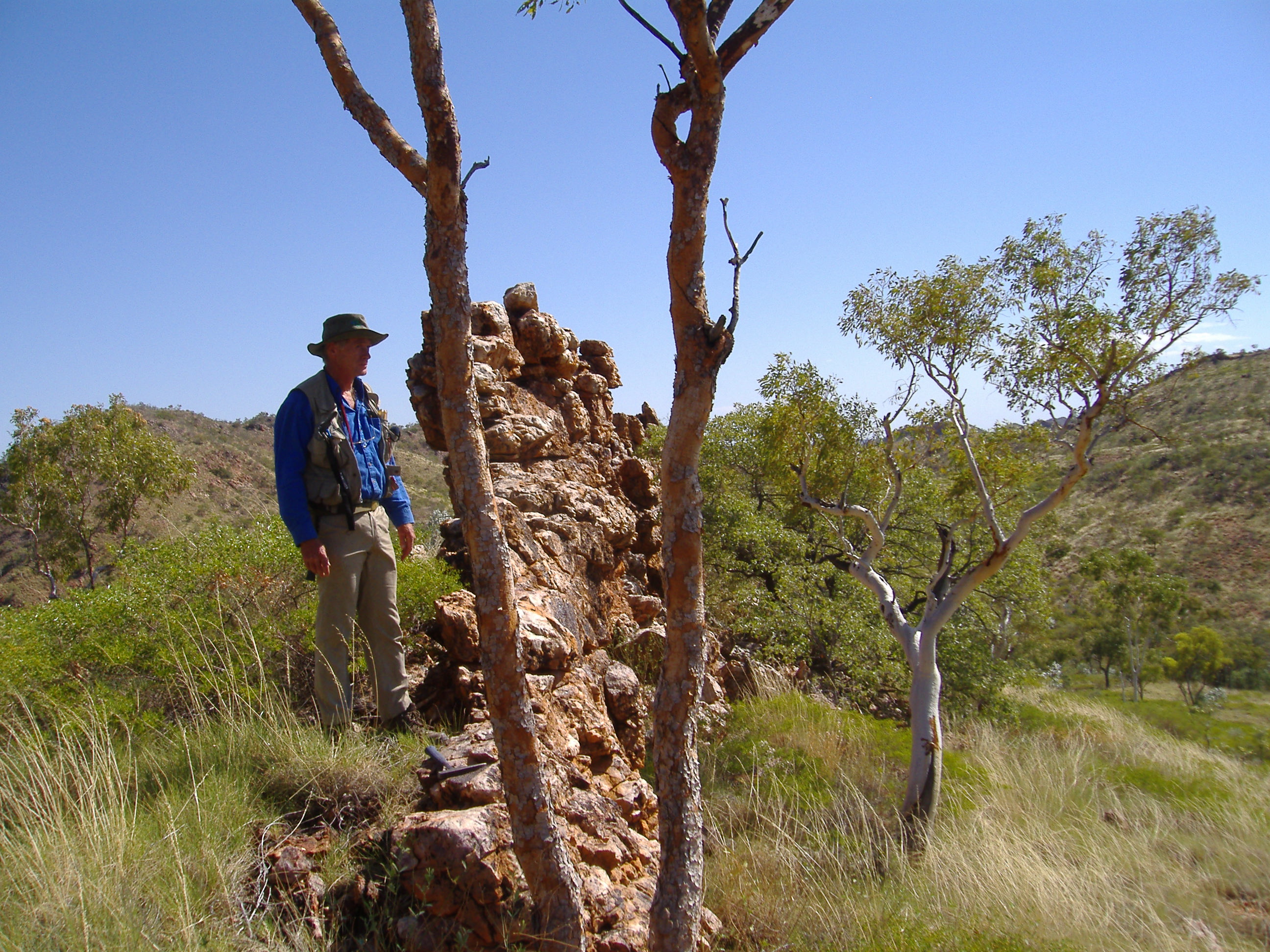
Veteran geologist Grant Davey pondering a quartz-filled fault in the Prospector area near Cloncurry, Queensland, Australia. This is one fault that was not hard to spot.
Making, or otherwise acquiring, a geological map is invariably the first step in any mineral exploration programme, and it remains an important control document for all subsequent stages of exploration and mining, including drilling, geochemistry, geophysics, geostatistics and mine planning. In an operating mine, geological mapping records the limits to visible ore in mine openings, and provides the essential data and ideas to enable projection of assay information beyond the sample points.
Making a geological map is thus a fundamental skill for any exploration or mine geologist.
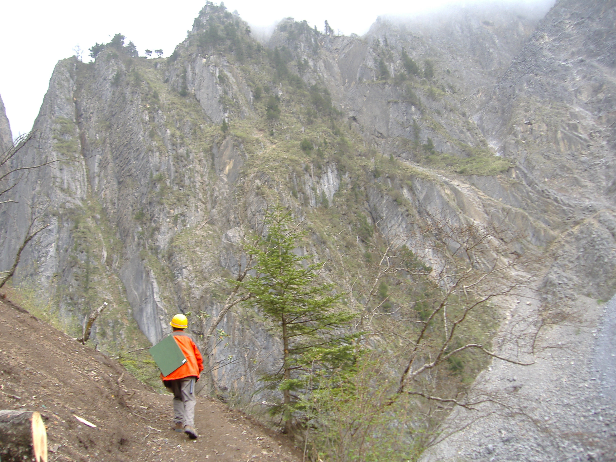
Mineral exploration geologist mapping Permian limestone at 4500m in the Snow Mountains , Sichuan Province, PRC. Note the map board over his shoulder and hard hat to protect from falling rocks.
The nature of a geological map
A geological map is a human artefact constructed according to the theories of geology and the intellectual abilities of its author. It presents a selection of field observations and is useful to the extent that it permits prediction of those things which cannot be observed. A geological map is an analog product and not a contoured collection of point data. It is always to some extent interpretational and subjective, but to different degrees.
There are different kinds of geological map. With large‑scale[2] maps, the geologist generally aims to visit and outline every significant rock outcrop in the area of the map. For that reason these are often called “fact” maps, but this term should always be avoided as it represents a claim for authority, and pre-emption of debate - not often justified and never desirable. “Observation” or simply “outcrop” map is a much better term for this kind of detailed mapping. In a small‑scale map, visiting every outcrop would be impossible; generally only a selection of outcrops are examined in the field and interpolations have to be made between the observation points. Such interpolations may be made by simple projection of data or by making use of features seen in remote sensed images of the area, such as satellite or radar imagery, air photographs, aeromagnetic maps and so on. Small‑scale maps thus generally have a much larger interpretational element than large‑scale maps.
The difference between the two map types is, however, one of degree only. Every map, even at the most detailed of scales, can only present a small selection of the available geological observations and no observation is ever entirely free from interpretational bias. Even what is considered to represent an outcrop for mapping purposes is very much scale dependent. In practice, what the map‑maker does is to make and record a certain number of observations, selected from the almost infinite number of observations that could be made, depending on what he regards as important given the purpose in constructing the map. These decisions by the geologist are necessarily subjective and will never be made with an unbiased mind. It is often thought that being biased is a weakness, to be avoided at all costs – but bias is the technique used by every scientist who seeks to separate a meaningful signal from noise. If we were not biased, the sheer volume of possible observations that could be made in the field would overwhelm us. An explorationist has a bias which leads her to find and record on her map features that are relevant to mineralisation. This will not be to the exclusion of other types of geological observation, but there is no doubt that her map will (or at any rate, should) be different from a map of the same area made by, say, a stratigrapher, or a palaeontologist. However, you can only use your bias to advantage if you are aware it of and acknowledge it – otherwise you risk fooling yourself. All observations made in the field (or on drill core, for that matter) are made with a specific purpose in mind: to test whether they are compatible or not compatible with a range hypotheses which are constantly evolving as a result of these observations. .
A geological map is thus different from other types of map data that the explorationist might use. Although typical geochemical or geophysical maps can contain interpretational elements and bias, they in general aim to provide exact presentations of reproducible quantitative point data. The data on such maps can often be collected by non‑professionals and the map can be compiled and plotted by computer according to pre‑set formulae. A geological map, on the other hand, is not contoured point data but an analog presentation of ideas; ideas backed up by detailed, careful observation and rational theory but, nevertheless, ideas. To be a successful geological map‑maker, it is necessary to keep this concept firmly in mind, and throw out any idea of the geological map‑maker as an objective collector of “ground truth”[3] data. After all, one geologist’s “ground truth” is another geologists irrelevant noise.
 Geological mapping team at Gunung Linggo (a volcanic neck), nr Trengalek, Central Java.
[1] The ground surface is, of course, not always horizontal and, although this can usually be ignored in small‑scale maps, it can have profound effects on the outcrop patterns of large‑scale maps.
[2] By convention, large‑scale refers to maps with a small scale ratio (that is, a large fraction) ‑ e.g. 1:1,000 scale or 1:2,500 scale. Small‑scale refers to large scale ratios (a small fraction) such as 1:100,000 or 1:250,000. Generally, anything over 1:5,000 should be considered small‑scale, but the terms are relative.
[3] “truth” and “fact” are slippery concepts that are often employed to claim authority and stifle debate. They are best not used in scientific contexts.